4. The feel of the Highlands on Edinburgh’s doorstep.

Our favourite walk in the Pentlands
Easy circular hill walk, around 6-7km.
Easy to get to by bus
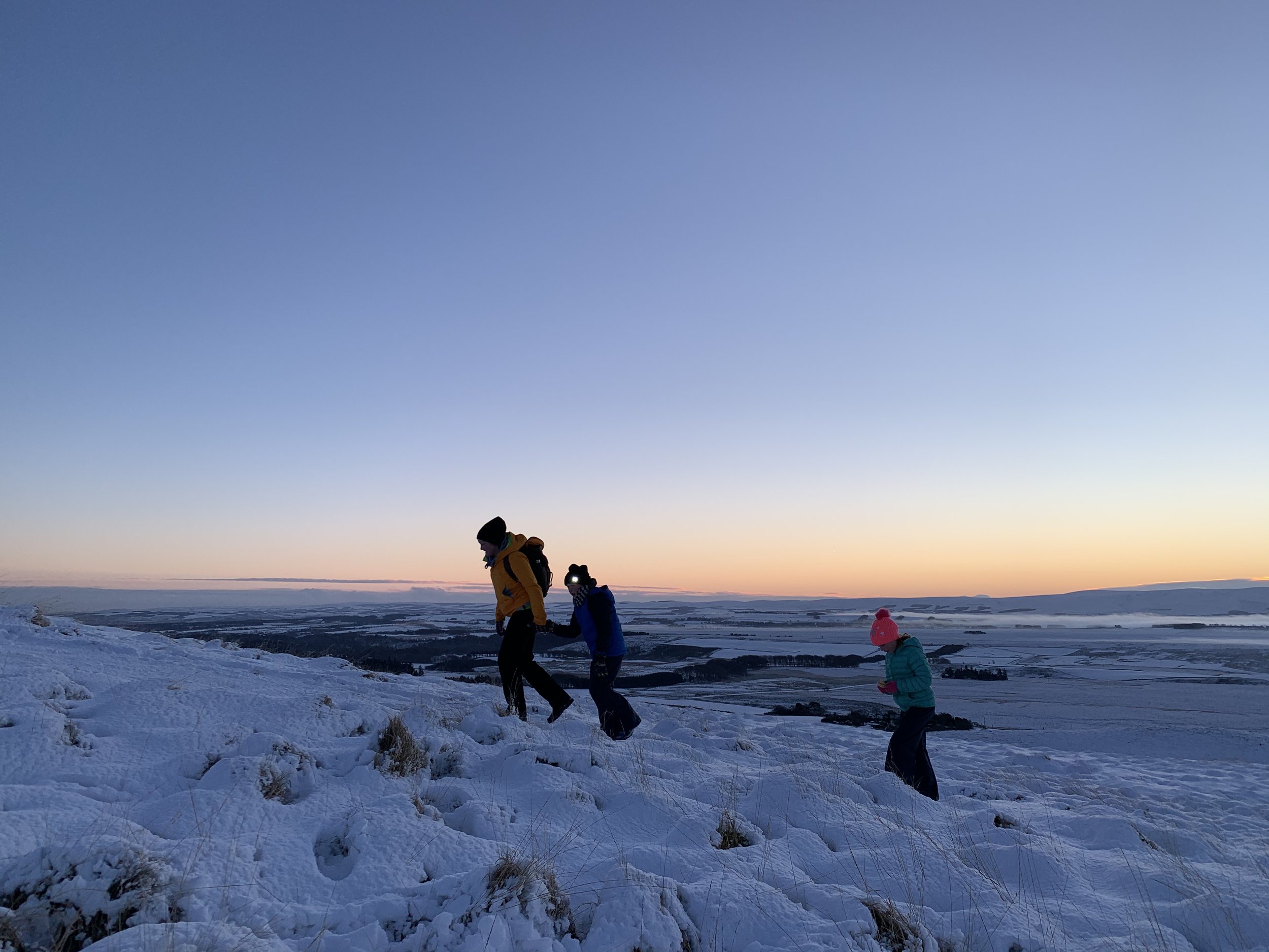
Feels super remote
Stunning scenery with lovely views of Edinburgh
Getting to the Start
There is a small row of car parking (space for around 20 cars) in the small hamlet of Nine Mile Burn just off the A702.
Stagecoach Buses also runs an hourly bus service which stops at Nine Mile Burn (either the 101 to Biggar or 102 to Dumfries). It takes under 45 minutes from Tollcross in central Edinburgh and is a £5 return.
Highlights
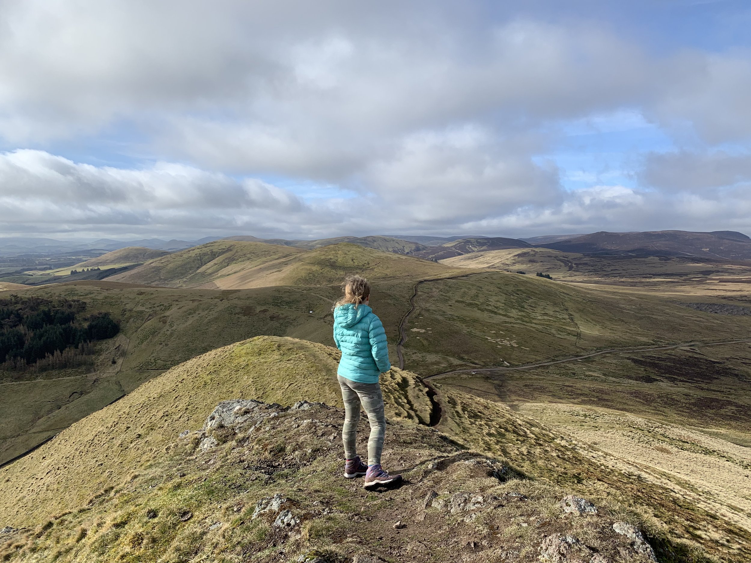
The short steep drag up to the top of West Kip is worth it for the view at the top
A perfect way to see the beautiful peaks of the surrounding Pentland hills
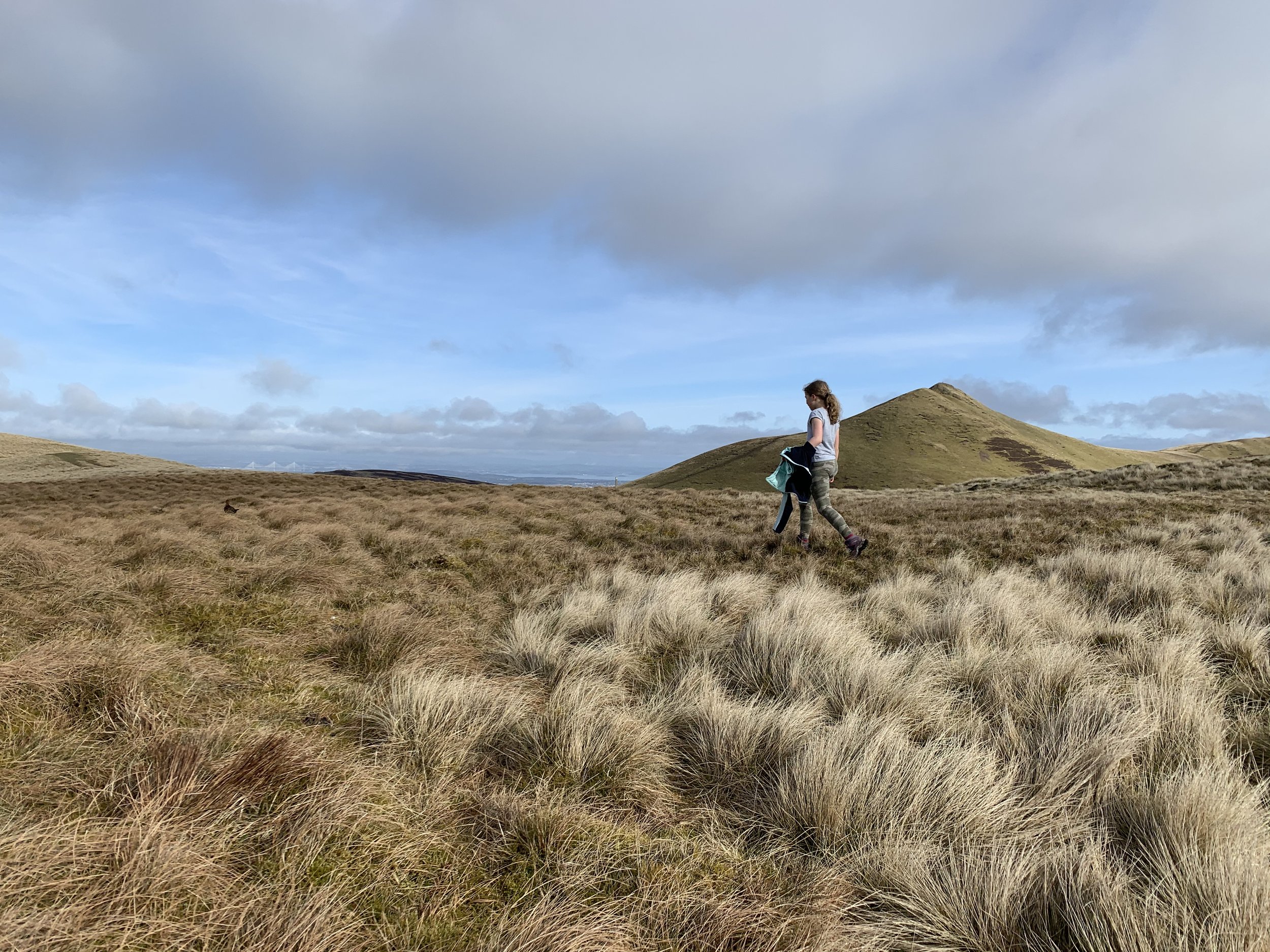
Spot the Forth Road bridges in the distance
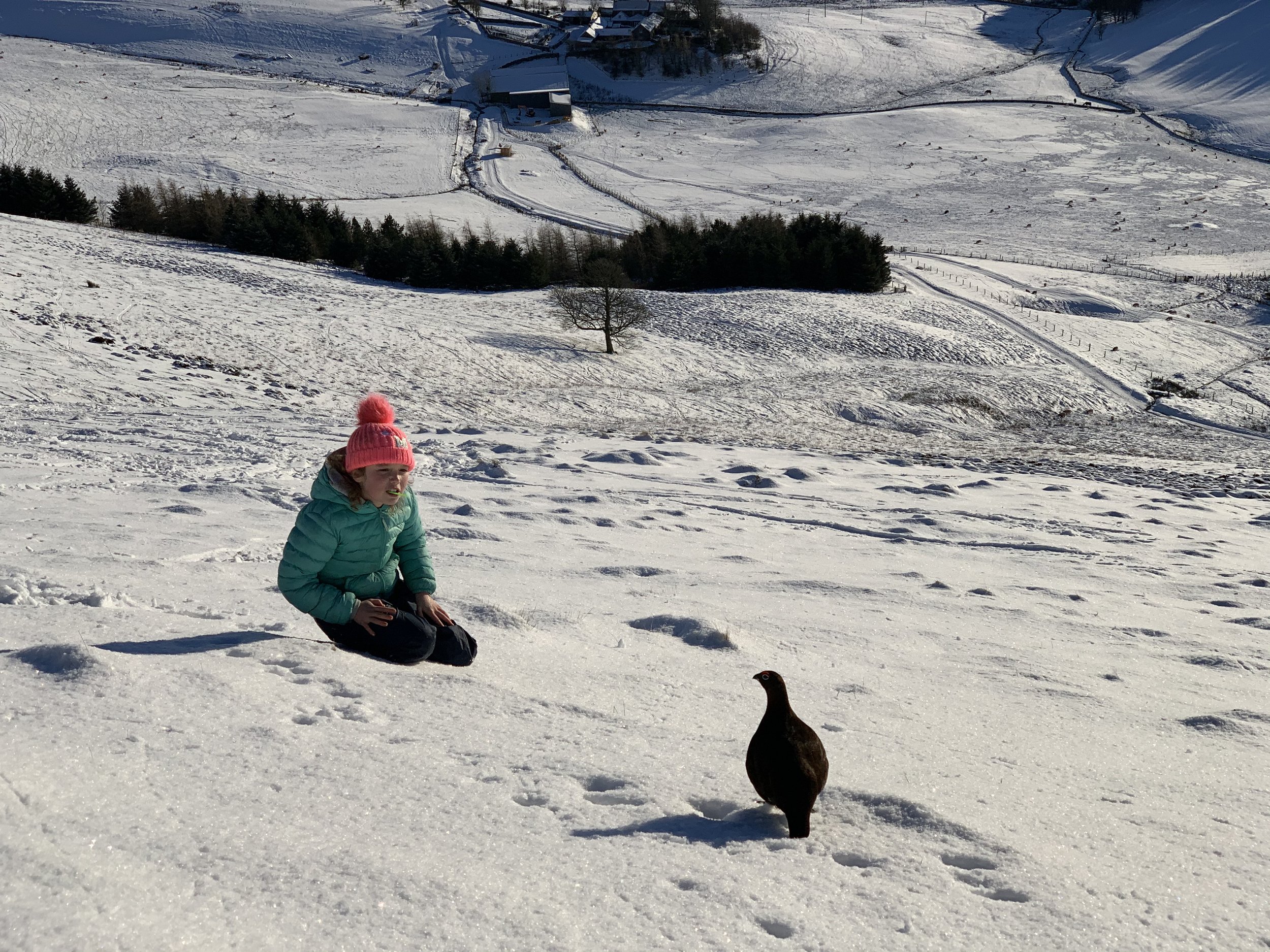
Look out for grouse hiding in the heather beside the path
There is so much to explore in the Pentlands Hills and loads of fantastic routes. This circular route from Nine Mile Burn is one of our favourites as it is just slightly further out from Edinburgh and as a result tends to be a lot less busy than the routes starting at Flotterstone or Harlaw.
West Kip (the 3,477th highest hill in Scotland!) makes for a fine point to aim for on this walk and it’s narrow outline is quite different to the rounded shapes of other hills surrounding it.
Walk Description
Go through the gate out of the car park into the field ahead of you and walk uphill parallel to the stone wall.
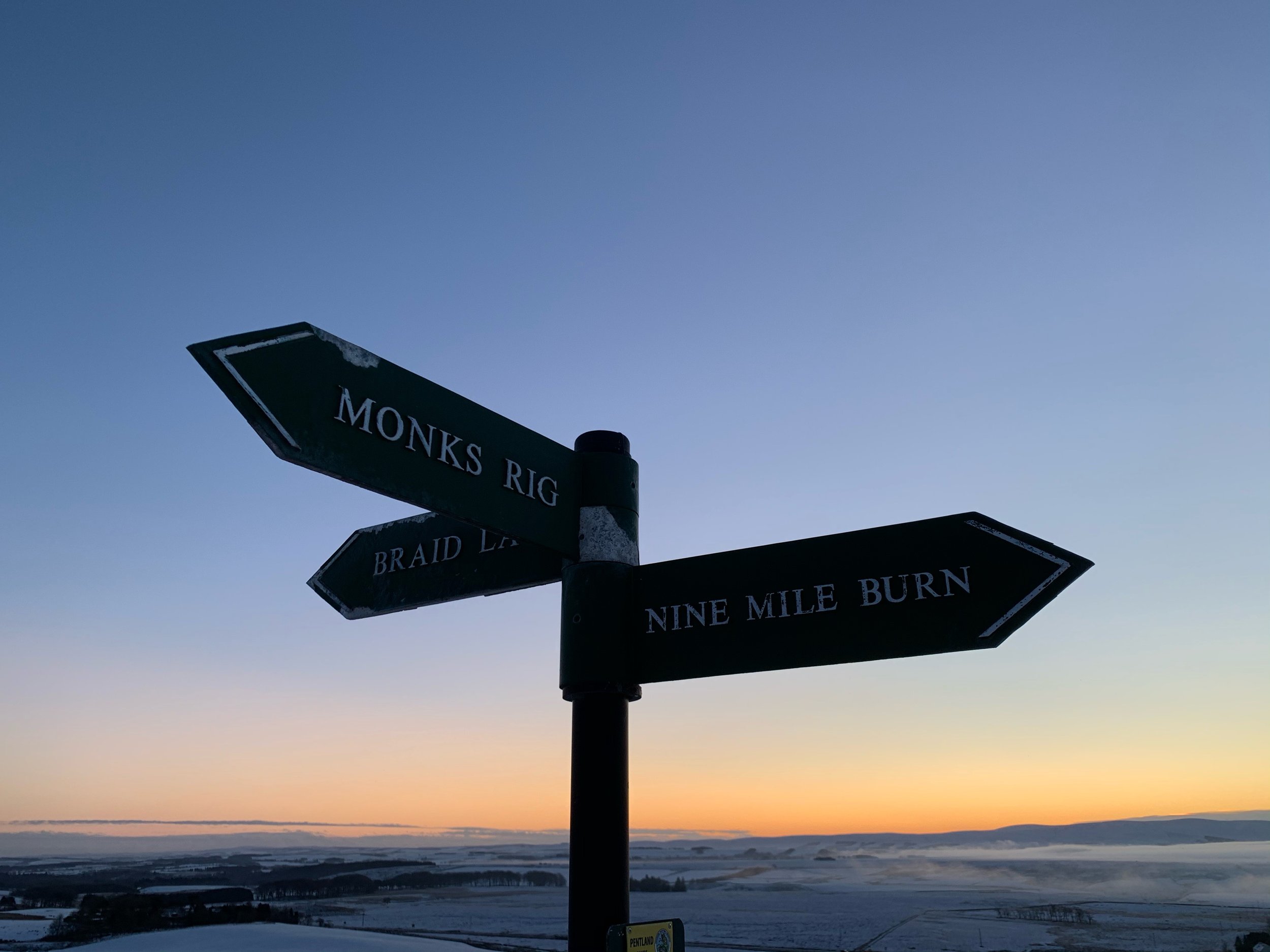
At the top of the field there is a stile on the right hand side to cross with a sign to Monks Rigg.
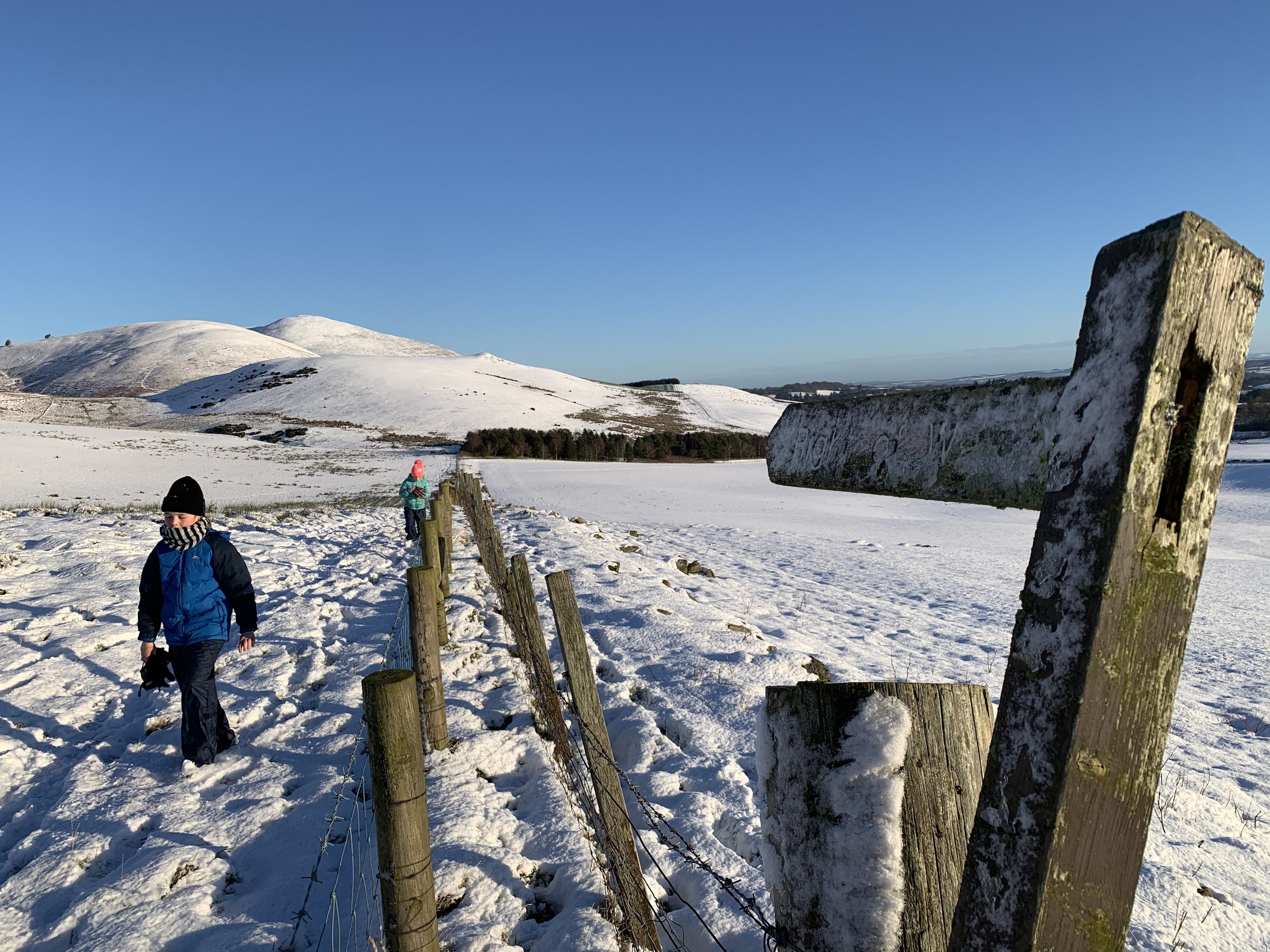
Follow the path to Monks Rigg which continues uphill and opens up into moorland. The views behind you open up to the Moorfoot Hills and ahead of you the sharp outline of West Kip starts to come into view.
Once at the foot of West Kip you can see the Forth Road bridges in the distance. From here take the clearly defined steep path up to the top of West Kip. The climb is short and sharp but over quickly.
Once at the top its time for a picnic and photos of the stunning ridge line across to East Kip.
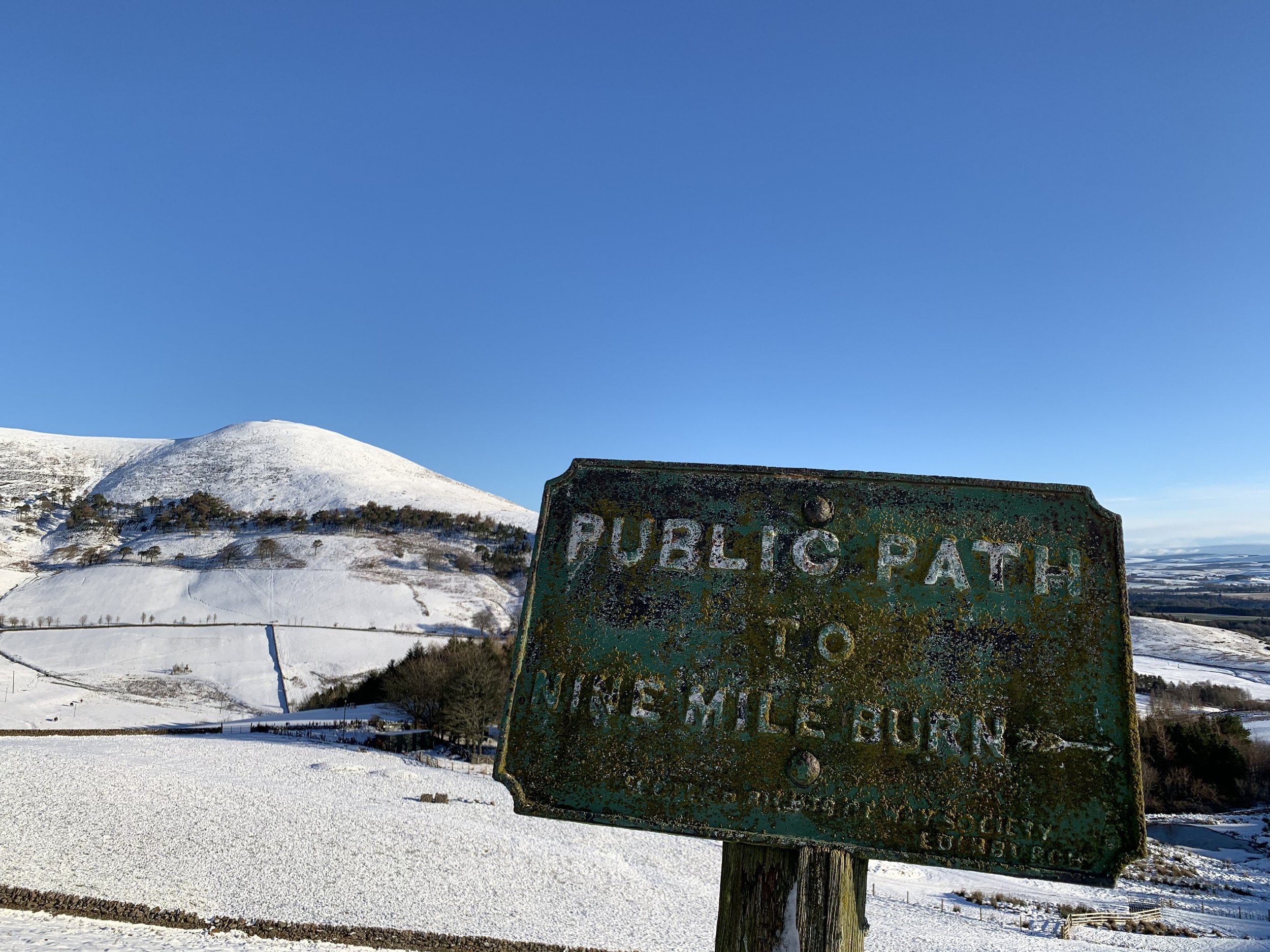
Descend the way you came up. Once back at the foot of West Kip, rather than climbing the dip back up to the moorland, bear left and follow the path at the bottom of the treelike. This bend rounds to the right and you pass through several gates. The path is well defined and signposted at several points to Nine Mile Burn.
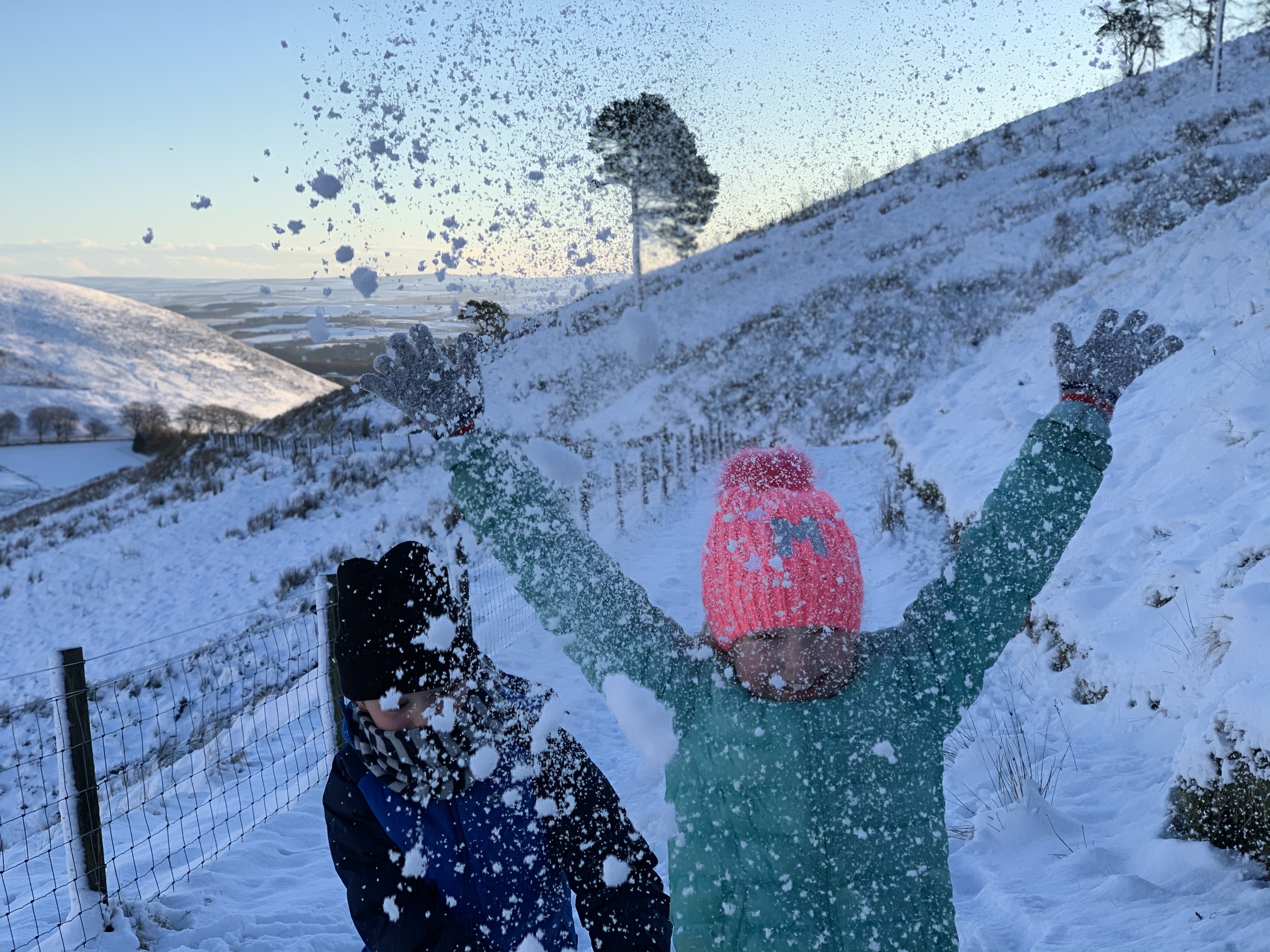
You finally end up at the top of the field back to the car park. We’ve been here a couple of times in the snow and it makes for a superb sledging spot.
Top Tips
Even if the walk to the foot of West Kip is not too windy be prepared for conditions just 5 minutes later to be quite different! But if you go on a still day then the top of West Kip is the perfect spot for a picnic and photos of the stunning Pentland ridge line.
Map and GPS
Press play below on the map below and you can download the route to your phone from the Menu.